Measuring 3D Torsional Displacement of Structures using Multi-perspective Computer Vision
To Obtain 3D displacement of the structure using multiple cameras, a synchronized camera setup is necessary to accurately compute 3D location of April Tags, Next Camrea parameters (e.g., intrinsic, extrinsic) are obtained using camera calibration. The time histories 3D displacements of the key points on a structure are computed from the collected videos from multi-perspective photogrammetry techniques.
Project 2
- A Cost-Effective UAV-based Sensing System for Waste Landfill Management
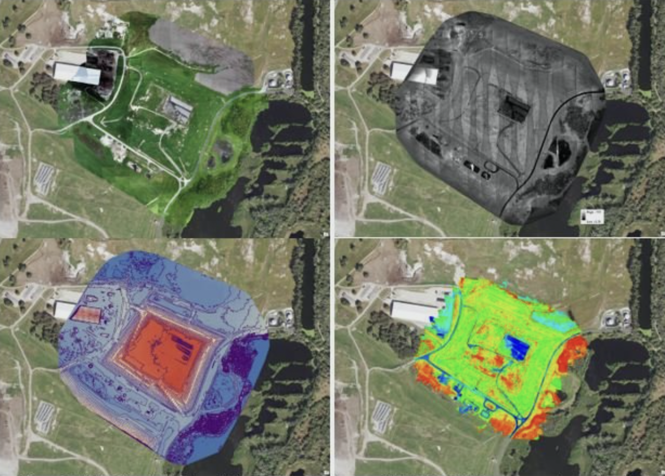
Surveying technologies (e.g., LiDAR) have been widely used in landfill routine management and operation to estimate the waste volume and density for planning future waste dumping. Apart from waste volume management, several emerging issues during landfill operation, such as elevated temperature and its associated subsidence, have posed significant challenges to landfill operators and owners. The objective of the study is to develop a cost and time-effective surveying system using a UAV-based mobile platform. The landfill-related characteristics will be monitored, including the geometry and the surface features of the landfill, e.g., moisture distribution on the landfill cover for potential surface ponding.

